The purpose of the Santiam Wagon Road Interpretive Project is to create an inclusive, educational, and engaging visitor experience that promotes the preservation of this historic trail.
Background
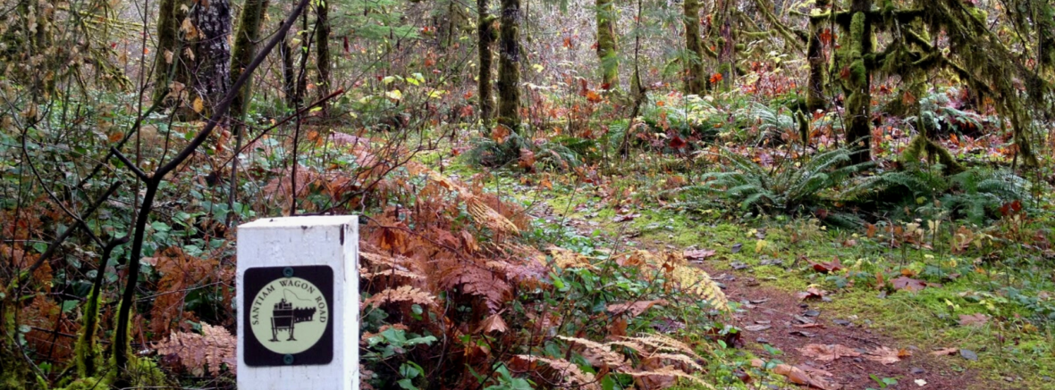
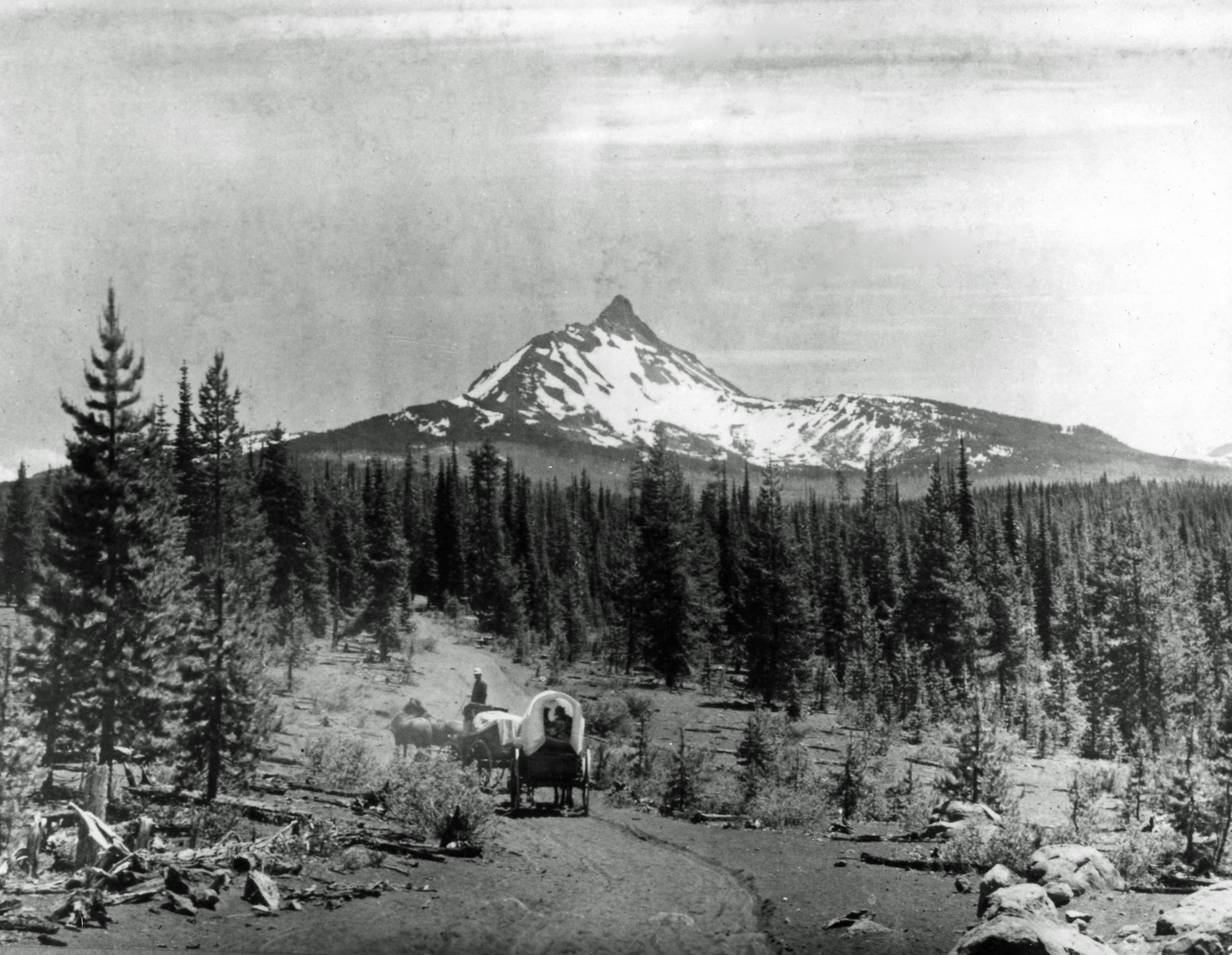 The Santiam Wagon Road holds an interesting and unique place in Oregon’s history. Unlike other wagon roads that were built to bring settlers to the Willamette Valley, this road was designed to lead settlers and their livestock eastward to the rich pasture lands of Central Oregon and to markets throughout eastern Oregon and Idaho.
It was a distance of almost 400 miles served as the primary means of transportation across the central Cascade Mountains for most of the 74 years (1865-1939) it was in use. The route it served as a livestock, freight and stage route facilitating trade, commerce, and communication, which significantly contributed to the economic enhancement and settlement of both regions. Remnants of the Santiam Wagon Road that have been preserved in the Willamette and Deschutes National Forests provide the longest stretches (with very high integrity) of any historic wagon road in western Oregon.
Project Details
Over the years, several disjointed efforts have been made to interpret and restore the Willamette National Forest segment of the Santiam Wagon Road: a Historic Management Plan for the segment was created in 1995 and finalized in 2006, an Interpretive Plan was drafted in 2010, a brochure was created the same year to guide visitors, and a 2017 OSU capstone project initiated the development of a self-guided hiking app. However, agency job rotation, issues gaining regional approval, or shifting priorities have resulted in barriers to a full-length restoration project. In other words, this effort is long overdue.
Together, CV and the WNF want to create an inclusive and engaging visitor experience on this historic trail. This multi-year initiative has been divided into 4 phases detailed below. If you’re interested in getting involved, please email sara.spoden@cascadevols.org.